Hiking itineraries


Roche Bernard et Tour des Lacs
LIEU_DE_DEPART : BELLEFONTAINE
Discover a walk that is emblematic of the Haut-Jura: from the breathtaking panoramas of the Roche Bernard to the boreal lakes and mysterious forests, take a deep breath of fresh air and enjoy an unforgettable experience in the heart of a unique natural heritage.

Tour des Lacs
LIEU_DE_DEPART : BELLEFONTAINE
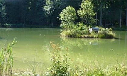
Discover the lakes and peat bogs of Bellefontaine and Les Mortes, an unmissable hike in the heart of the Jura, where boreo-arctic landscapes, unspoilt nature and high altitude panoramas promise a breath of fresh air and unforgettable memories.

Roche Devant et 3 Commères
LIEU_DE_DEPART : BELLEFONTAINE
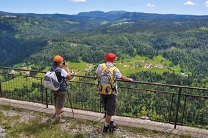
From the Belvédère de Roche Devant, enjoy a unique panoramic view of Bellefontaine, the valley and the Risoux forest, before setting off to discover amazing natural treasures such as the Roche des 3 Commères, the waterfall and the Evalude potholes.

Grand Goulet et Trois Commères
LIEU_DE_DEPART : MORBIER
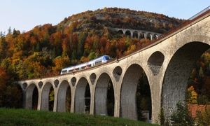
Set off from Morbier, the land of cheese and Comtoises clocks, and let yourself be guided along a unique itinerary where wild nature, industrial heritage and grandiose panoramas meet, from the foot of the Trois Commères to the Crottes balcony, with the majesty of the Morez viaducts as the...

Belvédère de la Corbière
LIEU_DE_DEPART : LONGCHAUMOIS
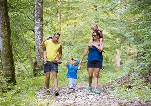
Set off from the heart of Longchaumois for a pleasant family walk that will take you to the Belvédère de la Corbière, from where you can enjoy a unique panorama of the Bienne valley, its picturesque villages and the famous line of swallows.

Le Mont Fier
LIEU_DE_DEPART : LONGCHAUMOIS
Discover Mont Fier, a singular summit perched at an altitude of 1282 m, where grandiose panoramas, wild nature and a unique geological history meet, offering an unforgettable experience between lakes, valleys, Jura massifs and the aerial ballet of the peregrine falcon.
